EV Solution Providers
Accelerating the Roll out of EV Charge Points with Geospatial tools and data

The Cloud based solution for optimising EV Charge Point siting
For EV installers, operators and developers, predicting how many charge points are needed, what charge point types (slow, fast, rapid, ultra-rapid) and where they should be located is inherently difficult without the right data.
Without the right information, EV solution providers and planners risk spending excessively, losing revenues and wasting time on excessive physical assessments. Sites take time to survey in person and the connection to the electricity grid can be both expensive and slow to obtain.
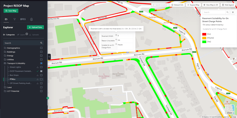
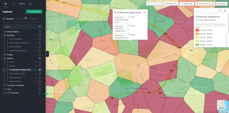
Access to granular data about charging demand, network capacity, Public Transport Accessibility Levels, and location suitability is now available on a cloud based platform to support EV Solution providers in identifying the optimal locations, avoiding wasted effort, collaborating with key stakeholders and evidencing the siting of EV Charge points.


LAEP+ for Siting EV Charge points
LAEP+ is a collaborative web-based mapping and design tool that helps EV Solution Providers, Local Authorities and Distribution Network Operators come together to plan and accelerate the roll out of Electric Vehicle Charge points.
Web based and cloud based enables the data to be kept up to date, shared across different groups as well as it being visualised, over-layed and brought together in one place.
By bringing LAEP+ to the market, our aim is to support those responsible in transitioning to renewable energy faster, cost-effectively and collaboratively from project inception, design, delivery and final implementation.
Send us a message
Submit your query via the form and a member of our team will be in touch.

At Energy statistics we believe that decarbonisation shouldn’t be blocked by something as simple as data access and visibility.
Quick Links
Get In Touch
© All Rights Reserved.