LAEP
Local Area Energy Planner Plus
LAEP+ is a net zero planning tool for local authorities, energy network operators and consultants
How LAEP+ works
Many Local Authorities, DNOs, and Consultants struggle to cost-effectively identify and triage suitable sites for energy projects.
Project opportunities are missed and those that are selected face lengthy delays trying to access network capacity information, model energy demand, estimate carbon avoidance, and assess the feasibility of potential sites. This project-level information is often missing from local area energy plans which are typically static PDF reports that do not provide the granularity of data needed to translate a plan into a pipeline of projects
LAEP+ is currently being used to build energy plans, respond to grants, and identify and triage buildings suitable for heat pump grants, EVs, Rooftop PV, and more…
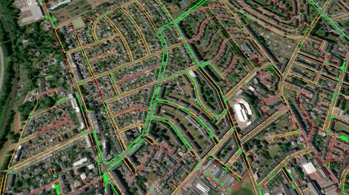
LAEP+ Features
- Visualisation– A cloud based mapping and analysis tool to filter and analyse data in maps, charts, tables and graphs
- Modelling-In browser calculations to quickly baseline an area and simulate the impact of different scenarios
- Datasets– An on-demand repository of add-on datasets covering network capacity, EV utilisation, household income, PV potential and more

Benefits of LAEP+
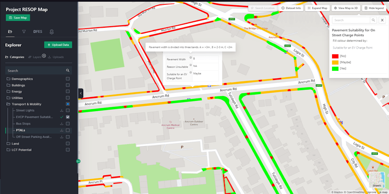
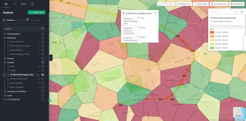
Overlay, analyse and export- Create custom maps populated with hundreds of datasets and run browser-based analysis to identify and evidence the suitability of different sites for low carbon energy interventions.
Filter and shortlist-Search & filter across the map to triage potential sites and shortlist opportunities. Optimise site selection by network capacity, building type, heating need, income, fuel poverty, demographic, and more. Download shortlists of addresses that meet your criteria.
In-browser analytics- Translate climate action plans into specific projects & volumes of assets, baseline current potential for low carbon technologies and, view data as exportable charts, graphs, tables and maps.
Data Overlays- Overlay dozens of LAEP+ datasets: PV potential, public transport accessibility, EV utilisation, EPC, UPRNs and more. Upload your own data to view and store. Access electricity network capacity information.
Sectors that use LAEP+
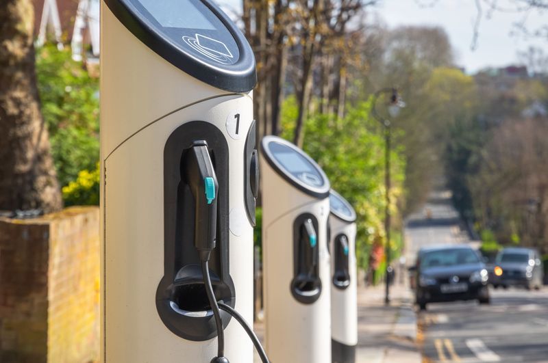
EV Solution Providers
Accelerating the Roll out of EV Charge Points with Geospatial tools and data
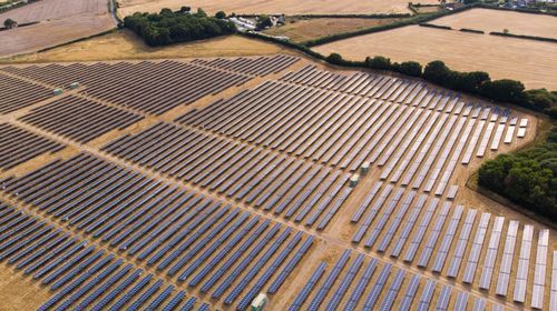
Solar Developers
Geospatial tools and data to support Large Scale Solar Development
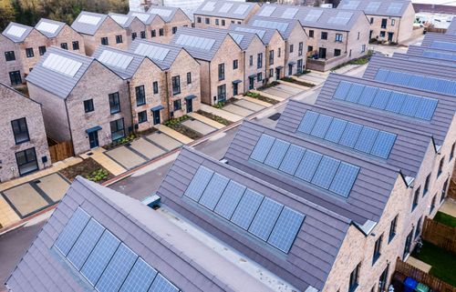
Housing Developers
Identify the suitability of Low Carbon Technologies in Housing Developments

Consultants
Working together with consultants to support local areas achieve net zero

SECTOR
Distribution Network Operators

Local Authorities
Accelerating Net Zero innovation to decarbonise local areas
- 2 Norhyrst Avenue, SE25 4BZ, London
- +44 7563 613 734
- sales@enstat.co.uk
Send us a message
Submit your query via the form and a member of our team will be in touch.

At Energy statistics we believe that decarbonisation shouldn’t be blocked by something as simple as data access and visibility.
Quick Links
Get In Touch
© All Rights Reserved.